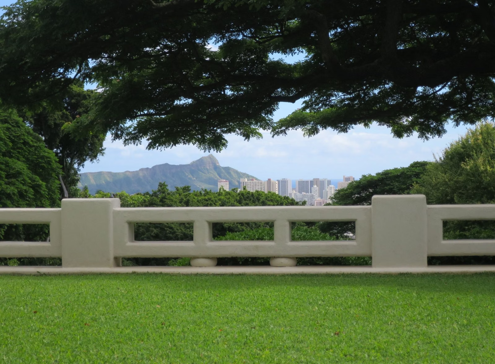
About Diamond Head
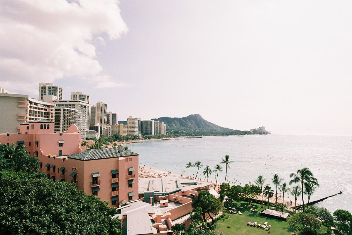
Diamond Head, Lēʻahi in Hawaiian, is a volcanic tuff cone formed in a single eruption about 300,000 years ago, now a state monument of more than 475 acres on the eastern edge of Waikīkī. The federal government bought it for coastal defense in 1904, and the Army built the summit trail in 1908. Hawaii's Department of Land and Natural Resources, Division of State Parks, runs it today.
History at a Glance
The Name: Lēʻahi and Diamond Head
According to the state's park brochure, the goddess Hiʻiaka, sister of the fire goddess Pele, named the peak Lēʻahi because the summit looks like the brow (lae) of the ʻahi, the yellowfin tuna. A second translation is "fire headland," for the navigation fires once lit on the summit to guide canoes along the shore. A heiau (temple) on the summit was dedicated to the god of wind, to protect those fires from strong updrafts.
The English name came later. In the late 1700s, Western explorers and traders saw calcite crystals glinting in the rocks of the crater's slope and mistook them for diamonds.
How the Crater Formed
Oʻahu grew from two shield volcanoes, whose eroded remains are the Koʻolau and Waiʻanae ranges. After about 1.3 million quiet years, new eruptions broke out at the southeast end of the Koʻolau Range, under the sea. Water and steam shattered the magma into ash, which settled and cemented into tuff, building cones such as Lēʻahi. The crater covers 350 acres and is wider than it is tall. Its southwest rim is highest because the wind blew ash that way during the eruption. More on the volcano.
The Army Years
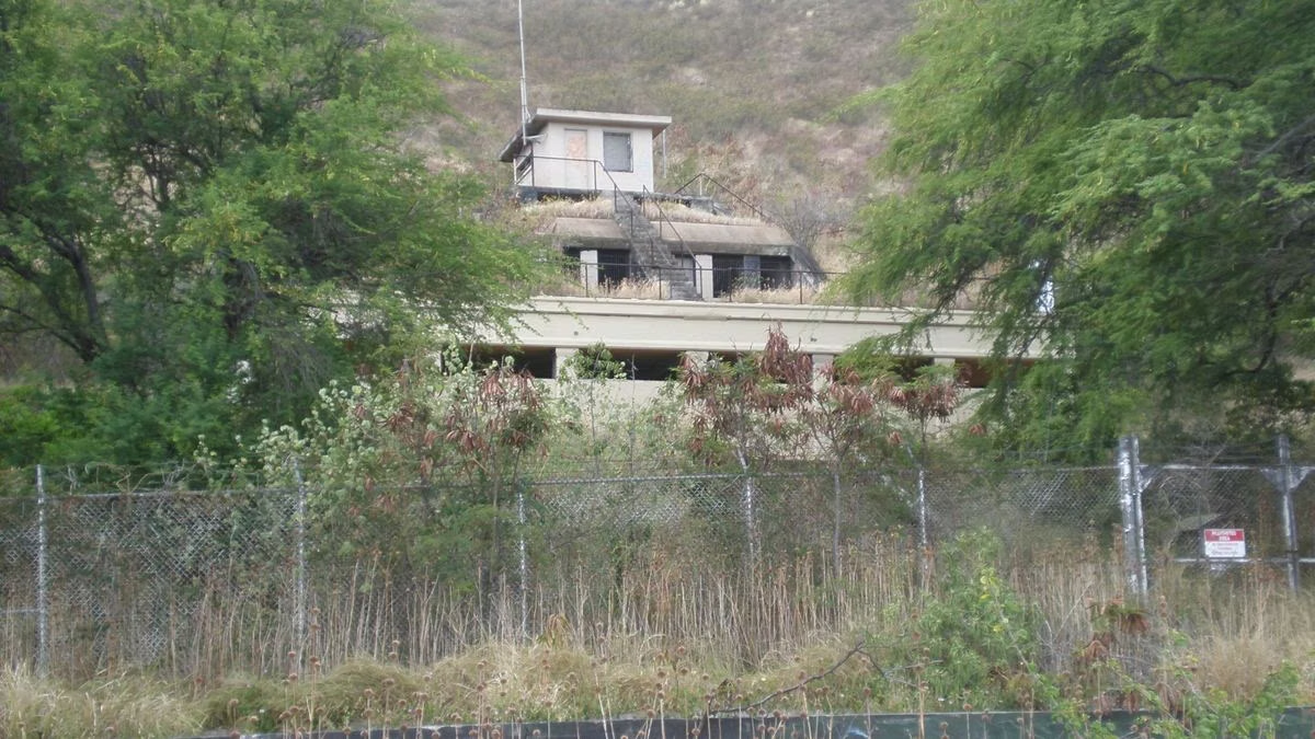
With its view from Koko Head to Waiʻanae, the summit was an ideal lookout for defending Oʻahu. The federal government bought Diamond Head in 1904. Construction began in 1908 with gun emplacements, the Kapahulu Tunnel through the north wall from Fort Ruger, and the summit trail. The Fire Control Station at the summit was completed in 1911, and five batteries were built around the crater between 1910 and 1943. No artillery was ever fired from Diamond Head in war. The military features are part of the Fort Ruger Historic District. See military history.
A State Monument
Diamond Head was designated a National Natural Landmark in 1968 as an excellent example of a tuff cone. It is a state monument, not a national park. The Division of State Parks built the interpretive kiosk on the crater floor in 2000, and with Pacific Historic Parks renovated it in 2014 as a visitor center and shop. A native wildlife exhibit, made with teachers and students of Waikīkī Elementary School, opened in 2024.
The park now sees more than 3,000 visitors a day, and set a record of over 6,000 on one day in the 2019 winter holidays. To ease crowding on the narrow trail and in the single access tunnel, the state began requiring reservations for out-of-state visitors on May 12, 2022. The agency has also proposed an implementation plan for improvements in and around the crater and has asked for public comment.
Plants and Birds
The crater's semi-arid climate and thin soil support mostly low shrubs. Botanists believe it was once dryland forest; only a few native species, such as ʻilima, remain. Most plants and birds seen today were introduced after the 1800s, including kiawe and koa haole, brought in as cattle feed, and cardinals, doves and sparrows. In winter, rain once pooled on the crater floor in a small lake used by native ducks and waterbirds until the early 1900s.
About This Website
diamondheadmonument.com is an independent visitor guide. It is not run by, endorsed by or connected to the Hawaii Department of Land and Natural Resources, the Division of State Parks or Pacific Historic Parks. The official sources are the Hawaii State Parks page for Diamond Head State Monument at dlnr.hawaii.gov/dsp and the reservation site gostateparks.hawaii.gov. Facts here are checked against those sources, and the state agency wins whenever sources disagree.
About Diamond Head FAQ
Why is it called Diamond Head?
In the late 1700s, Western explorers and traders mistook calcite crystals in the crater's rocks for diamonds, according to Hawaii State Parks.
What does Lēʻahi mean?
The state's brochure gives two meanings: the brow of the ʻahi (tuna), a name said to come from the goddess Hiʻiaka, and "fire headland," for the navigation fires lit on the summit.
Is Diamond Head a national park?
No. It is Diamond Head State Monument, run by the Hawaii Division of State Parks. It is a National Natural Landmark, designated in 1968.
Is Diamond Head an active volcano?
Hawaii State Parks describes Diamond Head as formed about 300,000 years ago in a single, brief eruption, and says its slopes have been wearing down from rain, wind and sea ever since. The agency describes no later eruption.
Is diamondheadmonument.com the official Diamond Head website?
No. It is an independent guide. The official pages are dlnr.hawaii.gov/dsp and the reservation site gostateparks.hawaii.gov.