Diamond Head Trail Map
The official Diamond Head trail map is in the Hawaii State Parks brochure. It shows one trail from the parking lot on the crater floor to the summit, 0.8 mile one way, with 16 numbered points of interest. At the top, the route becomes a one-way loop: up through the Fire Control Station to the summit, then back along the rim and down a metal stairway to rejoin the trail at the tunnel.
Map Basics
The Numbered Stops
These follow the numbers on the agency's 2012 brochure map. Stair counts are from that brochure.
- Trailhead on the crater floor, about 200 feet above sea level.
- Former pistol ranges, earthen berms seen from the concrete path.
- Switchbacks on the original 1908 alignment up the steep inner slope.
- Concrete landing and lookout, where a winch and cable once lifted materials from the crater floor.
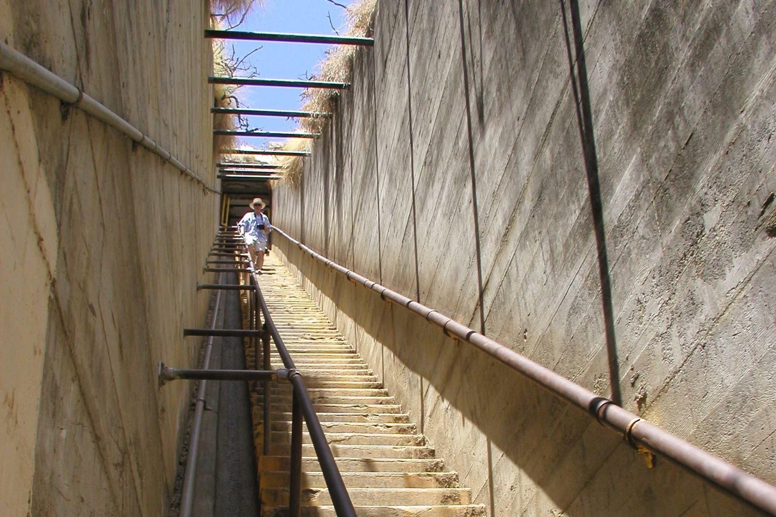
- 74 concrete steps up to the first narrow tunnel.
- The lighted tunnel, 225 feet long.
- A second stairway of 99 steep steps, with overhead beams that once held camouflage.
- The entry to the lowest level of the Fire Control Station, which held observation equipment for Fort DeRussy in Waikīkī.
- A lighted spiral staircase of 52 stairs to the third level, where equipment mounts remain.
- The exit through the seaward slits, once covered with metal shutters.
- 54 metal stairs, installed in the 1970s in place of a ladder.
- The summit, 761 feet (232 m), the top level of the Fire Control Station.
- 82 metal steps down from the summit to the lower trail, which loops back to the tunnel.
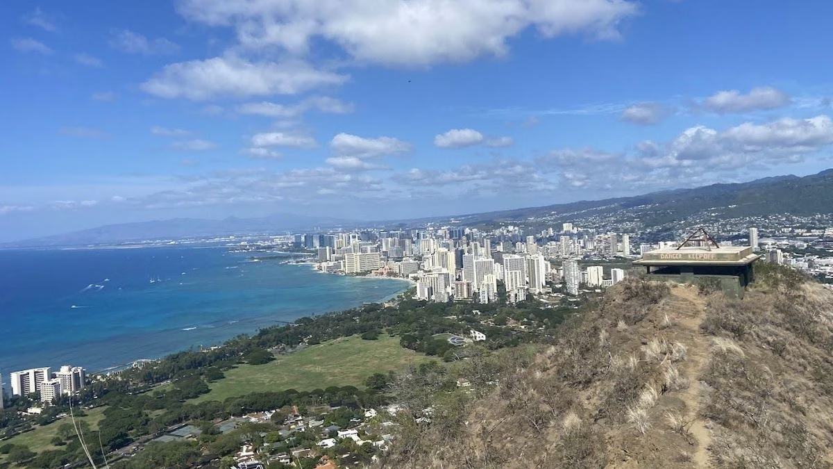
- Bunkers along the rim, built in 1915. The area beyond is closed as an emergency helicopter landing.
- A lookout facing southeastern Oʻahu toward Koko Head and the islands of Molokaʻi, Lānaʻi and Maui.
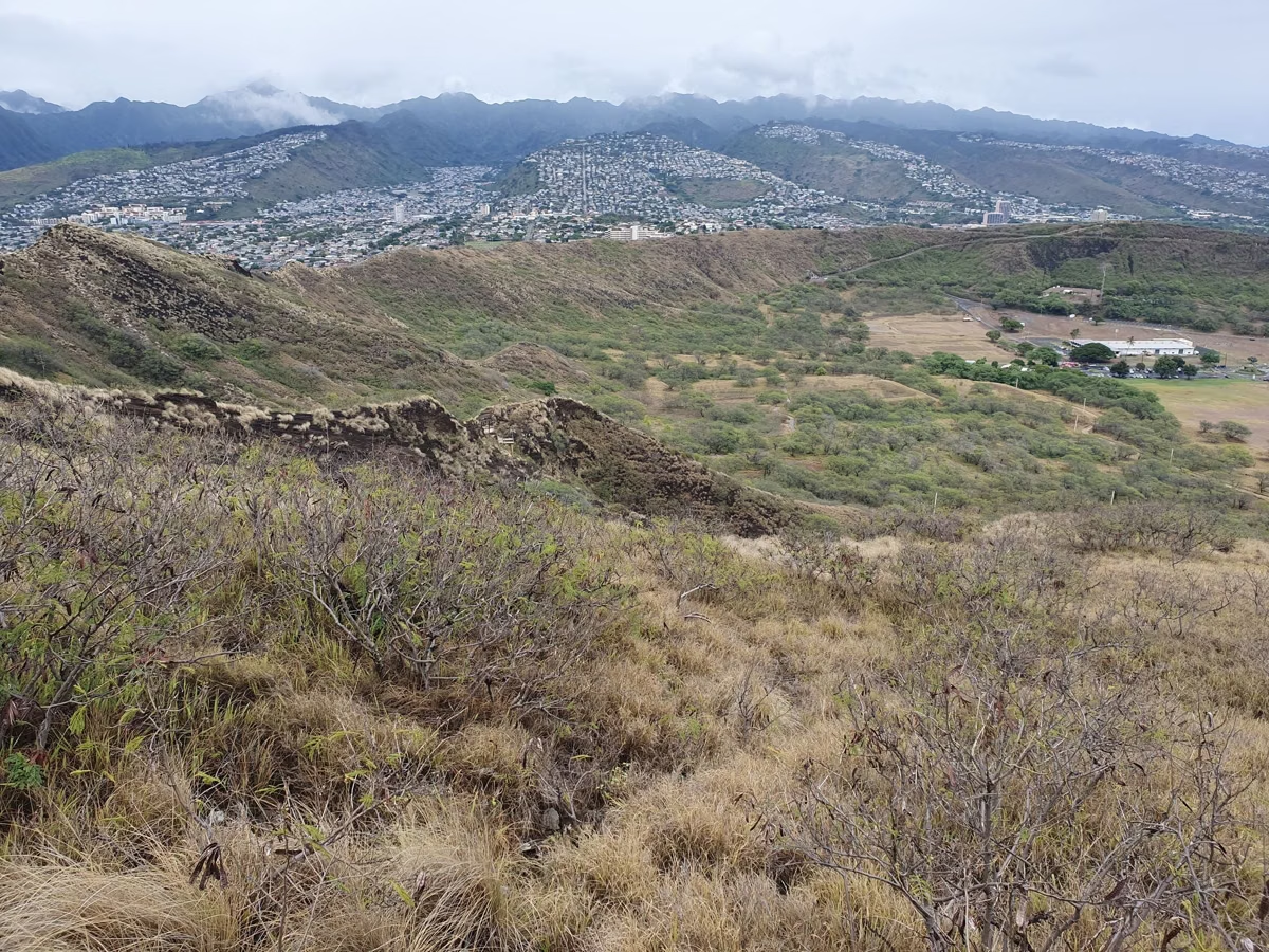
- A rest stop with views into the crater before the walk back down through the tunnel.
Why the Loop Matters
The brochure asks hikers to follow the numbers as a one-way loop at the summit to reduce congestion on the narrow stairs. Going up through the Fire Control Station and coming down the outside stairs keeps two-way traffic off the tightest sections.
Other Things on the Map
The brochure map also shows the Kahala Tunnel (the drive-in entrance), the toll booth, the parking lot, the comfort station, the trailhead kiosk and information booth, and a bus stop on Diamond Head Road near 18th Avenue. See parking and directions.
Map Safety Notes
- The tunnel gate closes at 6 p.m. and reopens at 6 a.m. The brochure's warning: do not get locked in.
- Do not enter closed or unauthorized areas, including bunkers and the helicopter landing zone.
- In an emergency, call 911.
- Stay on the trail and do not take shortcuts; the agency notes that shortcuts damage plants and speed erosion.
Where to Get the Map
Download the brochure from the Hawaii State Parks Diamond Head page. Trail details are on the hike page.
Diamond Head Trail Map FAQ
Where can I get a Diamond Head trail map?
The official map is in the Hawaii State Parks brochure, a free PDF linked from the agency's Diamond Head State Monument page at dlnr.hawaii.gov/dsp.
Is there more than one trail at Diamond Head?
No. The monument has one hiking trail, the 0.8-mile Summit Trail, with a short one-way loop at the top.
Where does the Diamond Head trail start?
At the parking lot on the crater floor, inside the crater. You reach it through the Kahala Tunnel off Diamond Head Road.
What is at the top of the Diamond Head trail?
The Fire Control Station, a four-level Army observation post completed in 1911, the 761-foot summit, and bunkers along the rim built in 1915.